USDA's Food Atlas Highlights Challenges and Opportunities to Bring Healthy Options to American Families
More than 23 million people in America live in food deserts, which are defined as urban neighborhoods and rural towns without ready access to fresh, healthy, and affordable food. This lack of access makes it impossible for families across the nation to receive a nutritious diet, and furthers them from being able to lead a healthy lifestyle. Without access to healthy food, these hardworking men and women are at risk to higher levels of obesity, and other diet-related illness, such as diabetes and heart disease.
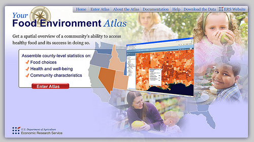
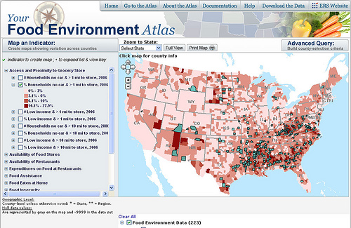
Last year, USDA’s Economic Research Service (ERS) launched a new web-based mapping tool – the Food Environment Atlas, to help find ways to bring more nutritious food to these communities in need. This online tool, which measures a community’s food-choice landscape, played a key role in the launch of First Lady Michelle Obama’s Let’s Move! initiative against childhood obesity.

The Food Environment Atlas allows users to compare the food environment among U.S. counties—the mix of factors that together influence food choices, diet quality, and general fitness among residents. The American people took notice, and in that first year the Atlas website received over 100,000 visits – becoming one of the most popular of USDA’s data products. This information can empower citizens and local leaders to take steps in their own communities to address current food environment challenges.
We recently revamped the Atlas, pulling together 168 indicators of the food environment (up from the original 90), measuring factors like availability and type of restaurants and food stores, food prices, socioeconomic characteristics, and health outcomes. We’ve added items that measure change over time, and several indicators that will make the Atlas more useful in gauging residents’ food accessibility in rural communities. The updated Atlas provides data on the number and percentage of a county’s households that are low income or that do not own a car, and that also live more than 10 miles from a grocery store. For rural areas, this a more realistic measure of food access than the one-mile measure in the original Atlas.
As millions of Americans are living in food deserts and are consequently facing heightened levels of food insecurity, we in Washington are taking note. The 2010 White House Task Force on Childhood Obesity cited research that illustrated limited access to healthy, affordable food choices often leads to poor diets, and high levels of obesity and other diet-related diseases. We cannot see another generation of low- and moderate-income families live without access to enough food to sustain healthy, active lives.
The First Lady’s Let’s Move! initiative seeks to not only reverse childhood obesity within a generation, but also to increase access to healthy, affordable foods across the country. Change is happening not only in Washington, but also at the grassroots level. This collaboration and partnership will help to find ways to make healthy food choices convenient for everyone. I invite you to visit and use the Atlas here.

